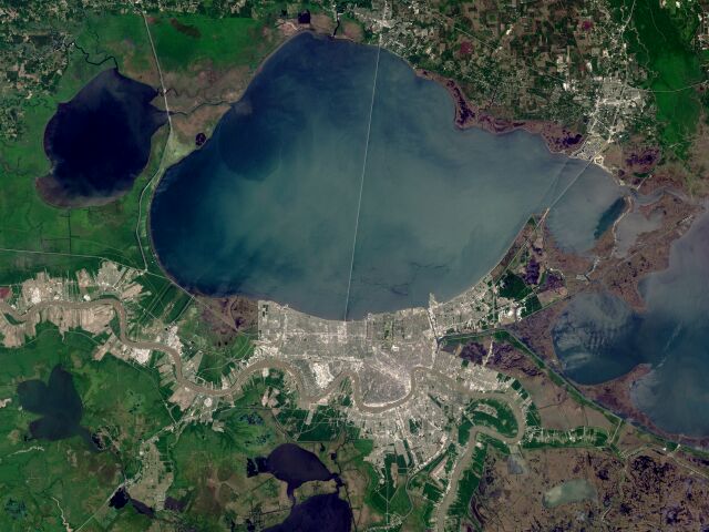
| For those not familiar with the area, the image above shows the Metro area of New Orleans on the south shore of the lake at the bottom of the picture; the Causeway stretches across the middle of the lake; and just a smidgeon of the town of Mandeville on the north shore can be seen. To the right of the image, the Lake Pontchartrain Twin Spans cross the "neck" of the lake, from eastern New Orleans on the south shore to Slidell, in St. Tammany Parish, on the north shore. The Mississippi River snakes its way through the heart of Metro New Orleans. |
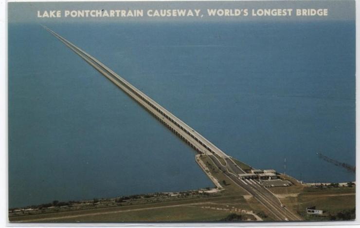
| The Lake Pontchartrain Causeway, the longest highway bridge over water in the world at just under 24 miles, links Metro-New Orleans on the south shore of the lake (from Metairie in Jefferson Parish) with the town of Mandeville in St. Tammany Parish, on the north shore. The first span of the Causeway opened in 1956 and it was considered a remarkable feat of engineering at the time. During construction, pieces of the bridge were loaded on barges and towed to the spaces they were needed on the lake. The bridges are supported by 9,500 pilings, over 50 inches in diameter. They were the largest pilings ever driven at the time of the first bridge's construction. A second span was added in 1969, to make traffic on each span one way, making the Causeway much safer. Depending on the source, between 30,000-40,000 cars use the Causeway daily--most are commuters from homes on the north shore driving to Metro- New Orleans jobs. Lake Pontchartrain is the largest inland estuary in the United States, comprised of over 600 square miles. It was named for France's Minister of Finance, who served under King Louis XIV, for whom Louisiana was named. |
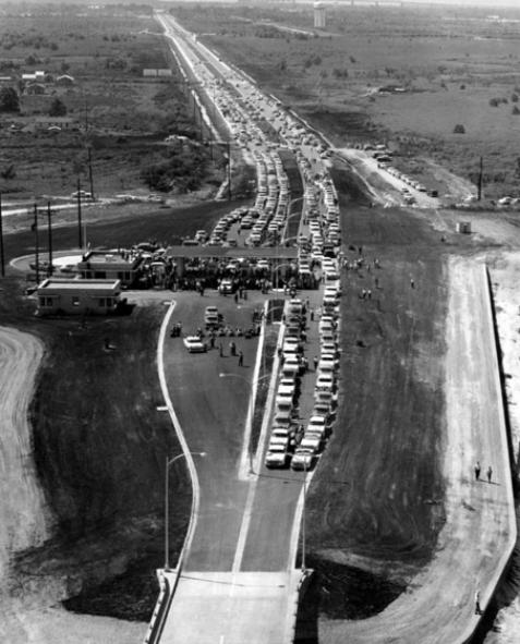
| The opening of the Causeway in 1956. That's the water tower that's on what is now Veterans and Causeway Boulevards visible at the top of the photo. Metairie, a suburb of New Orleans, has changed considerably since this photo was taken. (See photo below.) Many thanks to Robert Gonzalez for sharing this photo. |
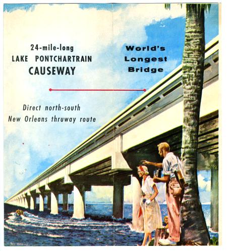
| An ad from the 1950's. |
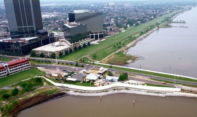
| A current photo of the entrance to the Causeway in Metairie. No more quiet country living in Jefferson Parish - and very little quiet country living on the northshore anymore either. |
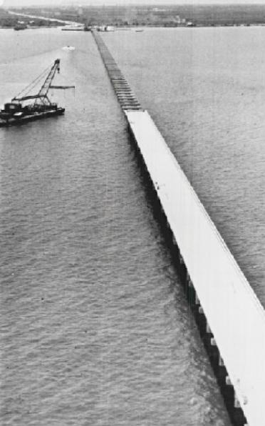
| The Causeway under construction, 1956. |
| Please don't separate this page from its source by sending it as an e-mail page. If you'd like to share this page with someone, please just send a link. The link to this page is: http://old-new-orleans.com/NO_Causeway.html |
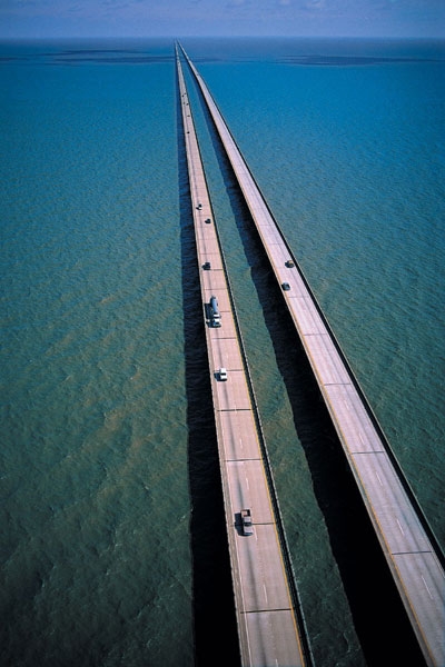
| The current-day Causeway bridges stretch into the horizon. Midway, neither shore can be seen. In inclement weather, cars are led across the spans in convoys. |