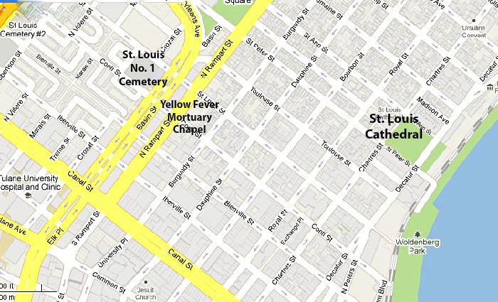
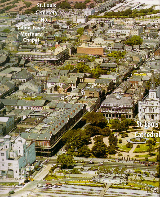
| Aerial View and Map of the French Quarter Showing locations of Mortuary Chapel and St. Louis No. 1 Cemetery |
On the page devoted to the story of the old Yellow Fever
Mortuary Chapel, I described how the chapel came to be
constructed during the early periods of the Yellow Fever
epidemics. Until then, the only church in the city had been St.
Louis Church (now Cathedral) and funeral processions beginning
at the church wound their way through the streets of the French
Quarter to St. Louis No. 1 Cemetery on Rampart Street.
Fearing that the many Yellow Fever funerals conducted in the
church - and then the funeral processions through the streets to
the cemetery - may contaminate the building and spread the
disease, city leaders declared it illegal to hold funerals for Yellow
Fever victims in St. Louis Church. Immediately, plans for a
mortuary chapel near the cemetery were commenced and, in
1827, the old Yellow Fever Mortuary Chapel was completed on
the corner of Rampart and Conti Streets.
When Donna Vrooman shared the aerial view of a portion of the
French Quarter below, I thought it would be a good visual for the
story of the Mortuary Chapel. I've noted the locations of St. Louis
Cathedral, the Mortuary Chapel and St. Louis Cemetery No. 1, so
that it's easier to see the distances between them.
Below the aerial view, I've also included a street map with the
locations marked.
| Aerial view of a portion of the French Quarter, from the Mississippi River, inclues: foreground, right: Washington Artillery Monument, behind it, Jackson Square, fronted by the Cabildo and St. Louis Cathedral; to the left of the square, the Pontalba Apartments; Jax Brewery Shopping Mall is to the left in the foreground. |
| (On this map, St. Louis No. 2 Cemetery can, also, be seen in the upper left corner.) |
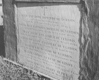
| Tomb containing remains of Yellow Fever victims in St. Louis No. 1 Cemetery |