| ~ & ~ Fort Massachusetts |
| For generations, New Orleanians have flocked to the Mississippi Gulf Coast to enjoy the glistening white sand beaches and a host of outdoor activities. The Coast has changed a great deal over the years. However, if you're in the mood for recalling past vacations, there are still a few things that haven't been washed away (or replaced by condominiums or casinos). One of those is Ship Island, home to Fort Massachusetts. My son, daughter-in-law and granddaughter recently visited Ship Island and kindly took pictures of Fort Massachusetts, so I could create a page and share them with you. Thank you so much, Jim, Pam & Sarah! -- Nancy |
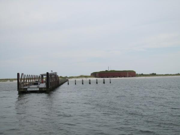
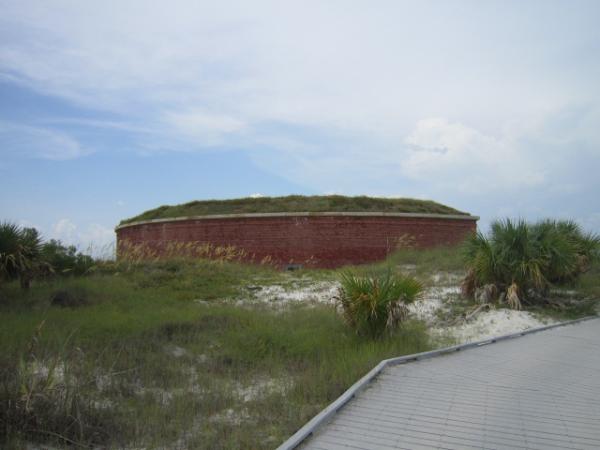
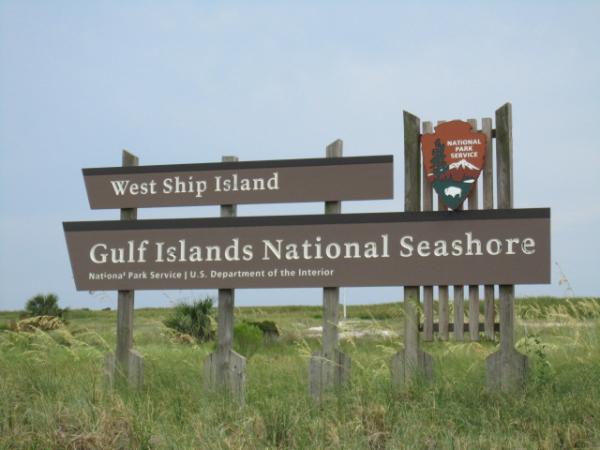
| Approach to Ship Island The island is only accessible by boat and is about a 50-minute boat ride from Gulfport, MS. Ship Island is actually not one, but two barrier islands. They are still generally known as "Ship Island" (although one is now officially named West Ship and the other East Ship), because the two used to be one before Hurricane Camille split the island in 1969. In 2005, Hurricane Katrina submerged and reduced the size of East Ship Island. West Ship Island has long been a popular tourist destination and is the site of Fort Massachusetts. Because the island had the only protected, deep-water anchorage for ships between Mobile Bay and the Mississippi River, it was named Ship Island by French explorers. Pierre Le Moyne d'Iberville first charted it in 1699, and he and brother, Jean-Baptiste Le Moyne de Bienville, used it as base of operations while exploring the Mississippi River. The significance of the island is sometimes overlooked, but Ship Island became a critically important port for immigration to French Louisiana. So many colonists took their first steps on American soil at Ship Island that some have called it the "Plymouth Rock" of the Gulf Coast. French, British, Spanish, U.S., Confederate and Union flags have all flown over Ship Island. |
A very abbreviated outline of the island's history:
- The island's ownership went from France to Great Britain in
1763, from Great Britain to Spain in 1783 and from Spain to the
U.S. in 1810.
In the War of 1812, the island was used as a launching point for
British forces before the Battle of New Orleans.
In 1853, the island's first lighthouse was built.
The island was very briefly occupied by Confederate forces during
the Civil War, however, Union troops took possession of it in 1861
and the fort later served as a prison for Confederate prisoners of
war.
The island was designated as the country's first quarantine
station in 1880 and served that purpose until 1916.
In 1886, a new lighthouse was constructed.
The Coast Guard used the island for anti-submarine beach patrol
during WWII.
In 2005, Hurricane Katrina submerged a portion of East Ship
Island, but West Ship Island received most of the damage from the
30-ft. tidal surge. Virtually all of the buildings on West Ship
Island were destroyed - except the old fort, which only received
minimal damage. All of the visitors' and National Park Service
employees' facilities have been rebuilt.
In 2010, with the help of containment booms, the island was
protected from the oil coming from the disastrous Deepwater
Horizon oil spill.
| Ship Island |
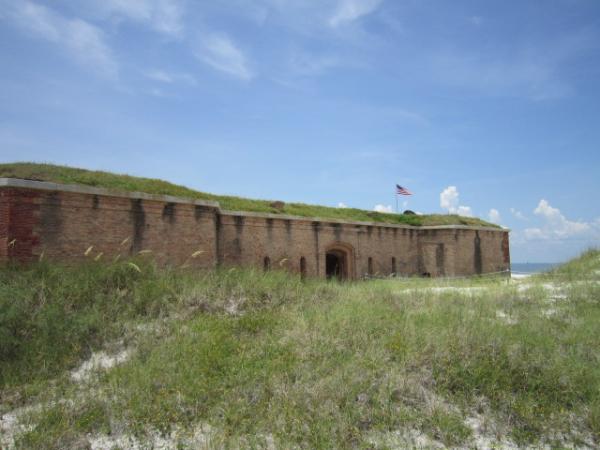
| Fort Massachusetts |
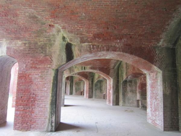
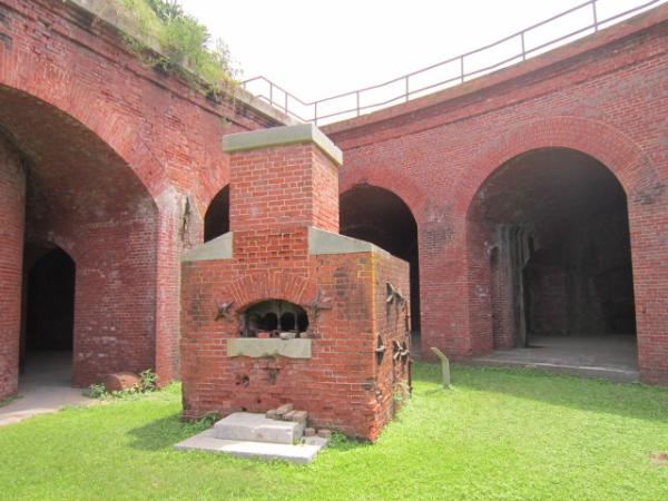
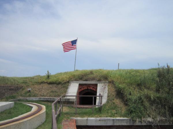
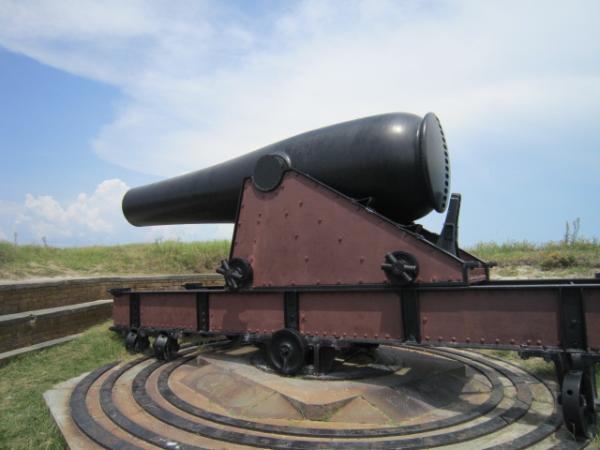
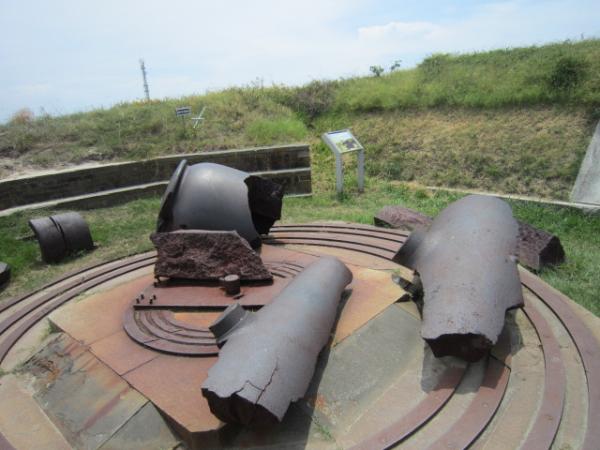
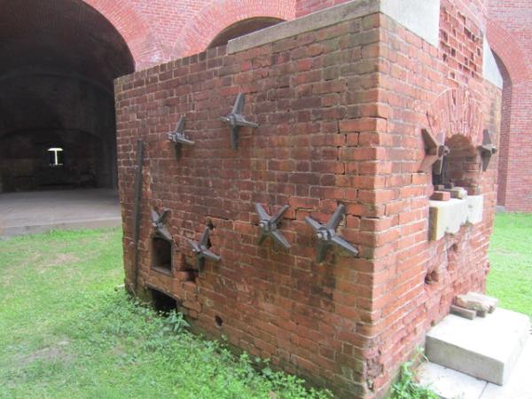
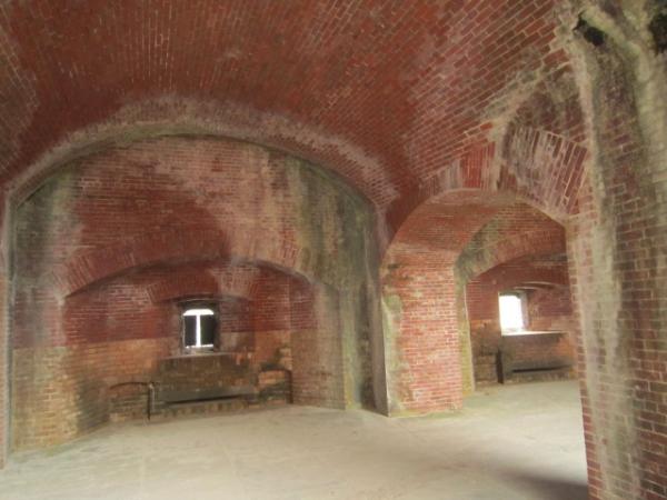
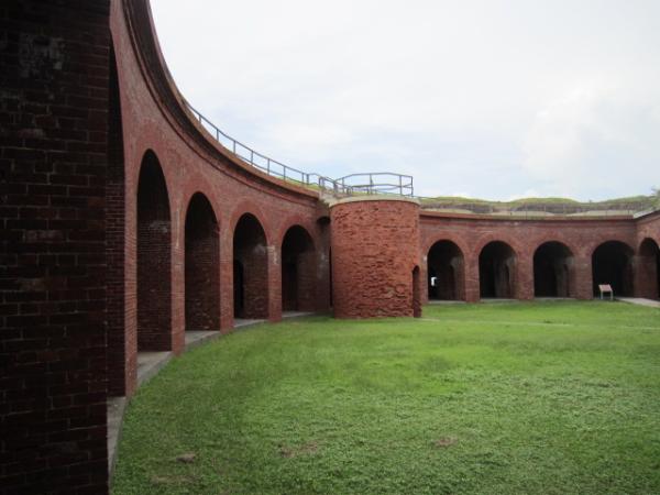
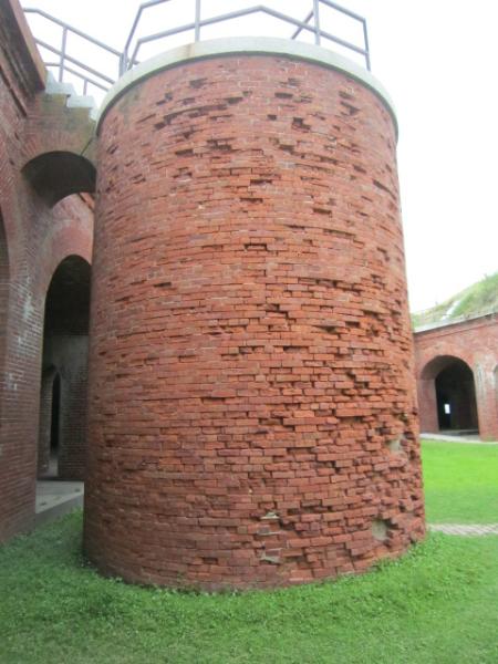
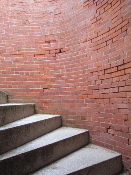
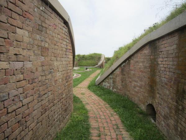
| Recognizing Ship Island's importance to the defense of New Orleans, in 1856, the U.S. government, ordered construction of a fort. Building began in 1859 and was completed in 1866. During the Civil War, Confederates held the island for a short time, but soon abandoned it, at which time, the Union forces gained control. In 1862, Ship Island was used as the staging area for the Union's capture of New Orleans. 18,000 Union troops were stationed on the island, among them, the 1st Louisiana Native Guard, one of the first African-American regiments in the U.S. Army. Construction of the fort halted at the beginning of the war, but was continued after the Union troops secured the island. Additionally, more than 40 new buildings were completed during the war. After the Civil War, the fort was kept in readiness, but no other military units were ever sent there. The Ship Island lighthouse keeper became the fort's caretaker in 1903. By the 1960's, the fort, sitting right at the water's edge, had begun to show the effects of Gulf tides and salt air. "Save the Fort" was launched by private citizens and their efforts led to the establishment of Gulf Islands National Seashore. The photos in the section below were taken in August, 2016. |
| Ship Island |
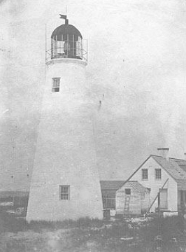
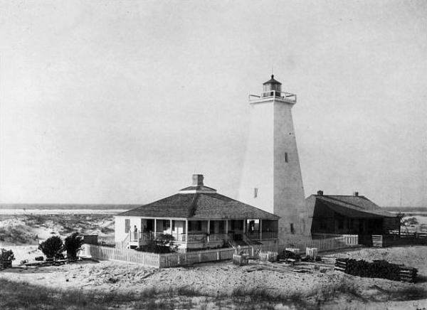
| From the Past |
| This Ship Island lighthouse was built in 1853 and stood until 1886. |
| This lighthouse, constructed in 1886, was accidentally burned down by campers in 1972. |
| Vintage Photo Credits: Coast.Guard@Wikimedia.Commons#1, Coast.Guard@Wikimedia.Commons #2 The link to this page is: http://old-new-orleans.com/NO_Ship_Island.html Back to Old New Orleans Whispers - Home |
.....